Delivering planning solutions
 We design practical, science-based spatial plans that balance conservation, sustainable multiple-use, and climate resilience. Our team brings deep expertise in integrating biodiversity, ecosystem services, and human uses, while avoiding residual protection and supporting genuine stakeholder engagement.
We work with partners to:
Define planning needs and objectives
Process biodiversity and ecosystem service data
Deploy customised, transparent shinyplanr apps for real-time use
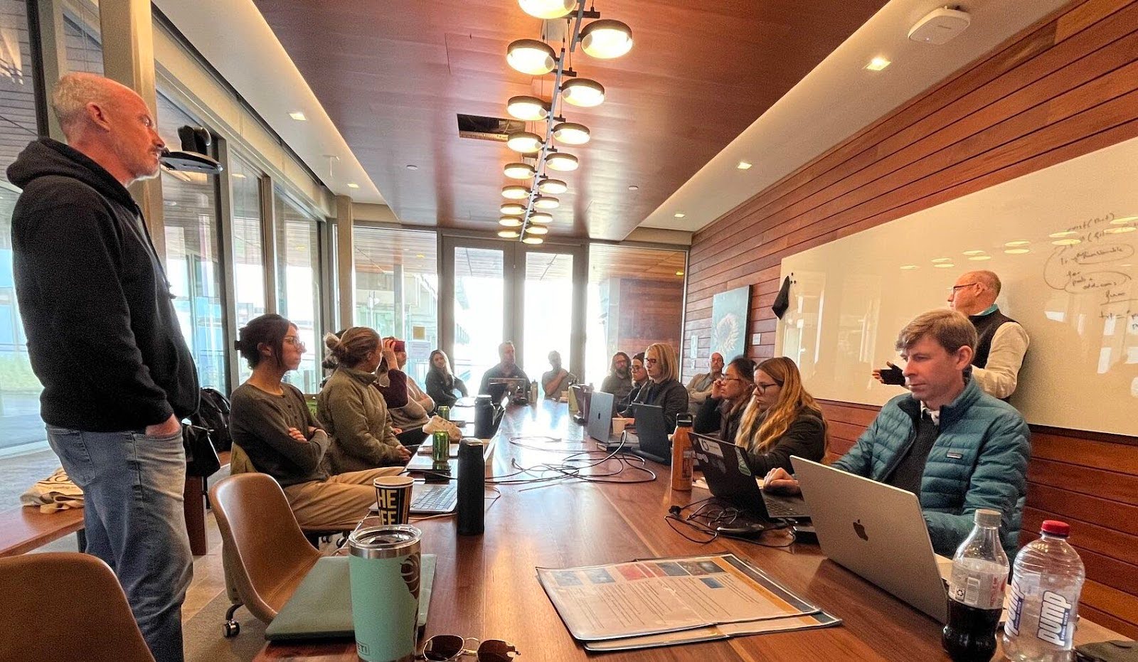
Facilitate inclusive stakeholder workshops
Develop and evaluate candidate spatial plans
Our solutions can incorporate:
Multiple-use planning that balances ecological and economic priorities
Climate-smart approaches that future-proof conservation under climate change
Ecosystem service mapping for carbon, coastal protection, and fisheries
Connectivity of different habitats
High resolution global species (5-km resolution) and habitat (1-km) distributions
These elements underpin our collaborative approach to delivering effective, equitable, stake-holder focused ocean planning. We are ready to partner with you. Please contact Anthony, Daniel or Jason to discuss future partnerships.
Future work: Climate-smart app to empower marine planning in a changing world
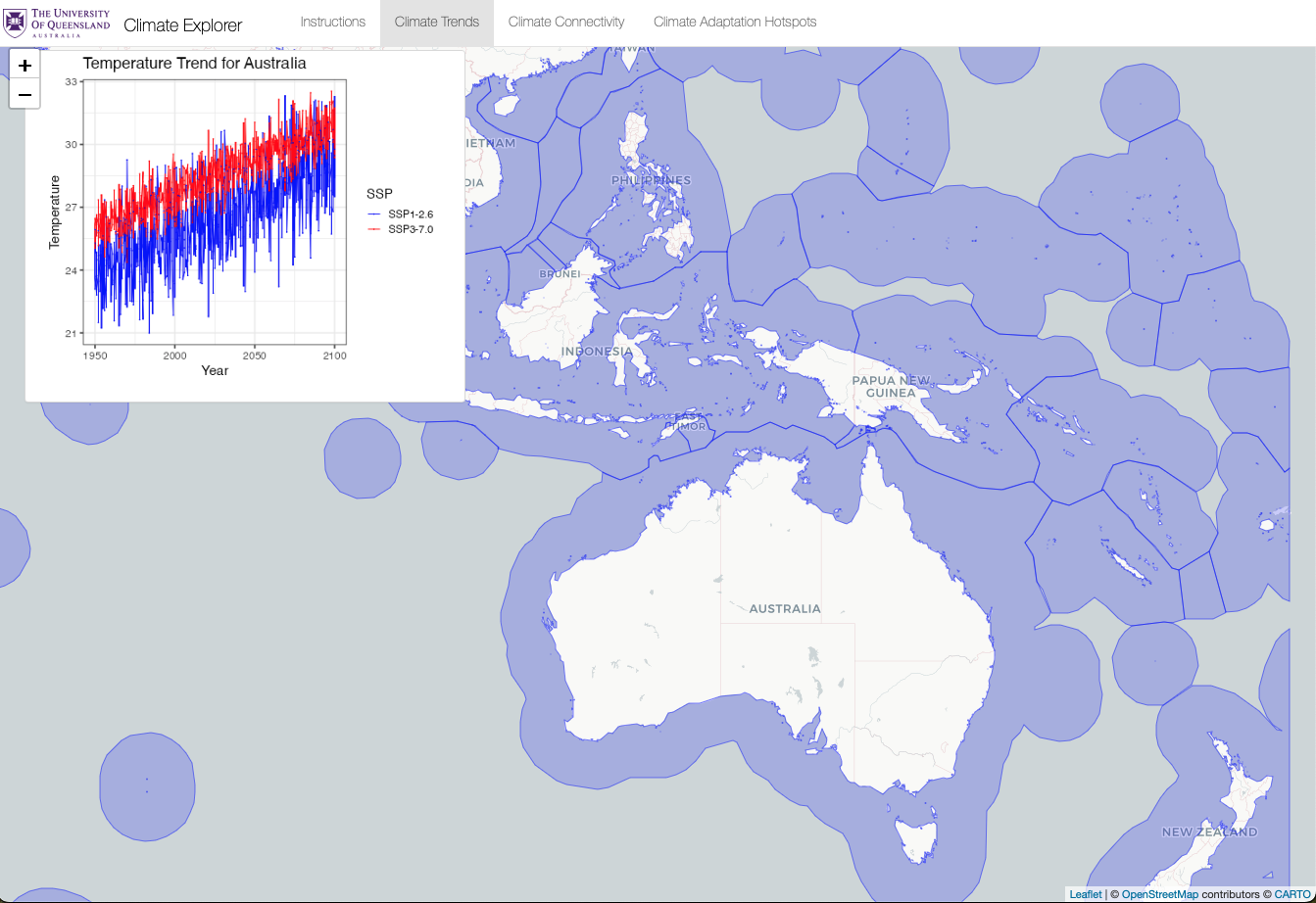
Climate change is rapidly undermining the effectiveness of traditional marine protected areas by shifting species distributions, disrupting ecosystems, and transforming ocean conditions. Despite this, most marine spatial planning (MSP) efforts still overlook climate change or treat it as an afterthought, risking misaligned conservation efforts and leaving marine ecosystems and dependent communities vulnerable. There is an urgent need to integrate climate foresight into planning frameworks to avoid wasting resources and to ensure biodiversity protection in the face of environmental change.
To address this gap, we envisage a suite of interactive, real-time web tools to embed climate change into the heart of MSP. The first phase would involve a regional climate app that lets users explore future ocean conditions under different emissions scenarios, visualise changes across key climate variables, and identify climate refugia and hotspots. Building on this, the second phase would deliver a biodiversity-climate risk app that applies a cutting-edge climate vulnerability index to assess species and habitat risk, guiding the design of climate-smart MPAs.
These open-source tools would empower planners—particularly in data-limited and island regions—to make informed, forward-looking decisions, helping countries meet biodiversity and climate targets while ensuring more resilient ocean stewardship.
We are looking for partners to realise this vision.