Challenges in spatial planning
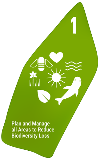
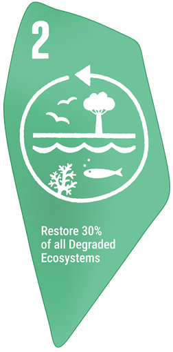
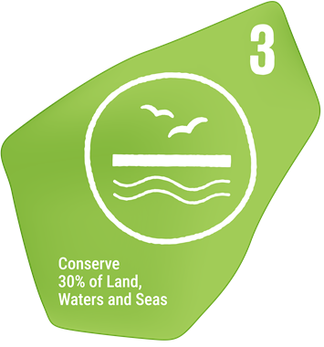
Accelerating human activities and intensifying climate change and are threatening biodiversity. In response, countries are scaling-up spatial planning to meet targets under the Global Biodiversity Framework — expanding spatial planning (Target 1), restoring ecosystems (Target 2), and conserving biodiversity (Target 3). But planning is complex. Each nation has unique requirements, and stakeholder processes are often slow and gridlocked, hindered by a disconnect between planning tools and stakeholder needs.
Our mission
We are a team of university researchers advancing spatial planning for real-world conservation. Our mission is to support biodiversity outcomes through transparent, cutting-edge research-driven tools tailored to local contexts.
We co-design planning solutions, with our partners, that support biodiversity conservation, restoration, and sustainable ocean use under a changing climate. We have expertise in developing rapid, effective and inclusive spatial plans and are continually improving our open-source platform shinyplanr based on user feedback and emerging science.
Our expertise

Prof. Anthony J. Richardson – A mathematical ecologist with 25+ years of research experience in climate change ecology, ecosystem modelling, and conservation science. He has authored over 250 scientific papers, been cited more than 35,000 times, and has made significant contributions to our understanding of climate impacts on marine ecosystems—from plankton to fish. His research has also helped shape national and international strategies for marine spatial planning, biodiversity conservation and ecosystem-based management.

A/Prof. Daniel Dunn – A marine conservation scientist with 20+ years advising on area-based management for international bodies including UNESCO, the International Seabed Authority (ISA), the Convention on Biological Diversity (CBD), the Convention on Migratory Species (CMS), the Commission for the Conservation of Antarctic Marine Living Resources (CCAMLR), and the Biodiversity Beyond National Jurisdiction (BBNJ) treaty.

Dr Jason Everett – A spatial ecologist and data scientist developing tools for designing protected areas and analysing climate change impacts on ecosystems. He has spent 15+ years working on understanding how oceanographic processes structure global pelagic food webs, designing climate-smart marine protected areas and investigating the impact of climate-change on marine ecosystem function. He leads the development of R-packages and Shiny visualisation tools that are used to inform marine management.
Our team

Kristine (Tin) Buenafe: Tin, is a quantitative marine ecologist from the Philippines. Her research focuses on developing ways of designing more connected, climate-smart protected area networks.

Alvise Dabalà: Alvise is a spatial ecologist with experience developing spatial prioritisations for the Atlantic Ocean. His current research focuses on developing climate-smart and connected spatial prioritisations to protect mangrove biodiversity and ecosystem services.

Kris Jypson Esturas: Kris is a research assistant with the team. His previous research has focussed on leveraging climate adaptation hotpspots in the design of climate-smart protected areas

Aharon Fleury: Aharon is an environmental scientist with experience in academia and industry. His current research focuses on better incorporating impact on conservation targets to avoid selection of residual reserves.

Sandra Neubert: Sandra is a marine data scientist with an interest in marine spatial planning. Her research focuses on developing multiple-use approaches to designing protected areas and assessing their costs and benefits from an ecological and economic perspective.